The Resilient Deltas research group conducts applied research on how to design a delta region as safe as possible and how to use the power of society, government and business to create a vital, resilient delta.
Resilient Deltas examines the relationship between land use, social capital, economy and the vital infrastructure of delta areas. It also examines the governance of water safety and area development processes to provide an integrated picture.
Based on this insight, the research group seeks a dynamic balance that allows society in delta areas to develop resiliently, vitally and safely.
The research group works together with parties such as Veiligheidsregio Zeeland, the province, Rijkswaterstaat Zee & Delta and municipalities.
Projects
Geen zee te hoog
This project approaches the development of flood protection strategies as a spatial issue,…
Cool Neighbourhoods
The increasing temperature in cities due to global warming creates hotter areas within…
Members

Coordinators


News
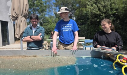
Mini-metronome shows ebb and flow, currents, and sedimentation
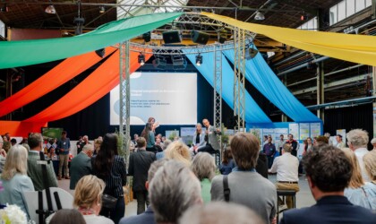
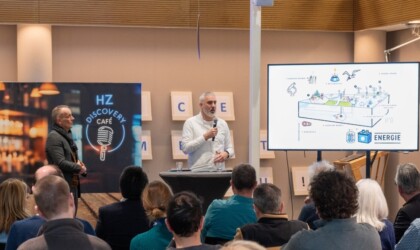
More than 250 attendees at the Delta Climate Center annual event