This project approaches the development of flood protection strategies as a spatial issue, investigating linking area assignments, application of levee concepts based on Building with Nature (BmN), and developing public support for major landscape changes, through four research questions focusing on:
- Spatial quality landscape and consistency with support for spatial strategies;
- Physical and ecological boundary conditions for BmN solutions and incorporation into spatial strategies;
- Drivers and barriers to support through participatory design processes;
- Guidelines for development of spatial strategies, both for spatial design and the design process.
Methods
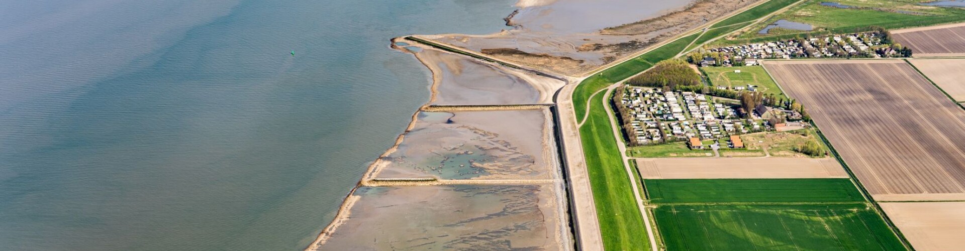
The research is elaborated for the Westerschelde, switching between two spatial scales: the Westerschelde (basin-level) and living labs (at three locations). A mix of methods is applied including surveys (Public Participation GIS), interviews, GIS analyses, modelling of BmN co-growth solutions (Delft3D-FM), and evaluation of the 'social learning process' in research-through-design design workshops.
Result
The research results in a methodology/method that can be applied by public professionals in (leveed) coastal areas from 2026 (after the end of current Sea Level Rise Knowledge Programme).
Consortium
HZ University of Applied Sciences (lead partner), Wageningen University, NIOZ, Natuurmonumenten, Province of Zeeland, Rijkswaterstaat Zee en Delta, Scheldestromen Water Authority, Municipalities of Borsele, Hulst, Kapelle, Reimerswaal, Vlissingen. Local stakeholders are involved in the living labs.